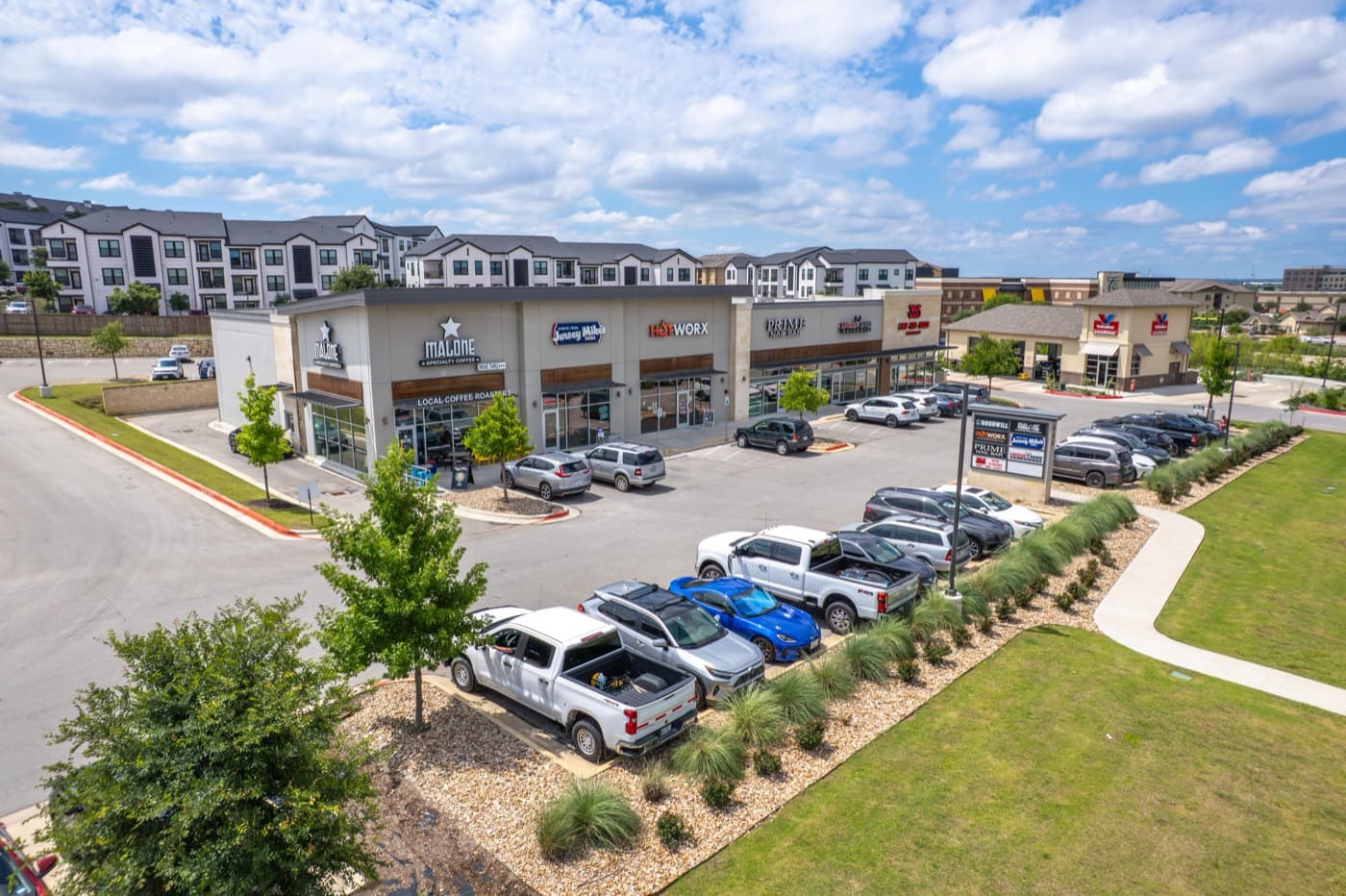
High-Resolution Aerial Stills That Command Attention
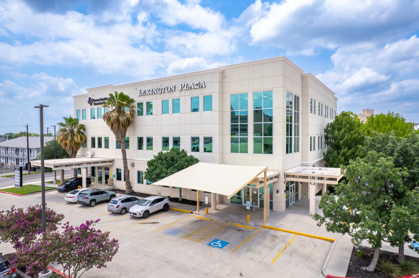
Aerial photos of properties, sites, and projects, planned for light, altitude, and angle, then edited and delivered.
- FAA Part 107 certified
- Based in San Antonio, TX
- Edited files in 24 to 48 hours on packages
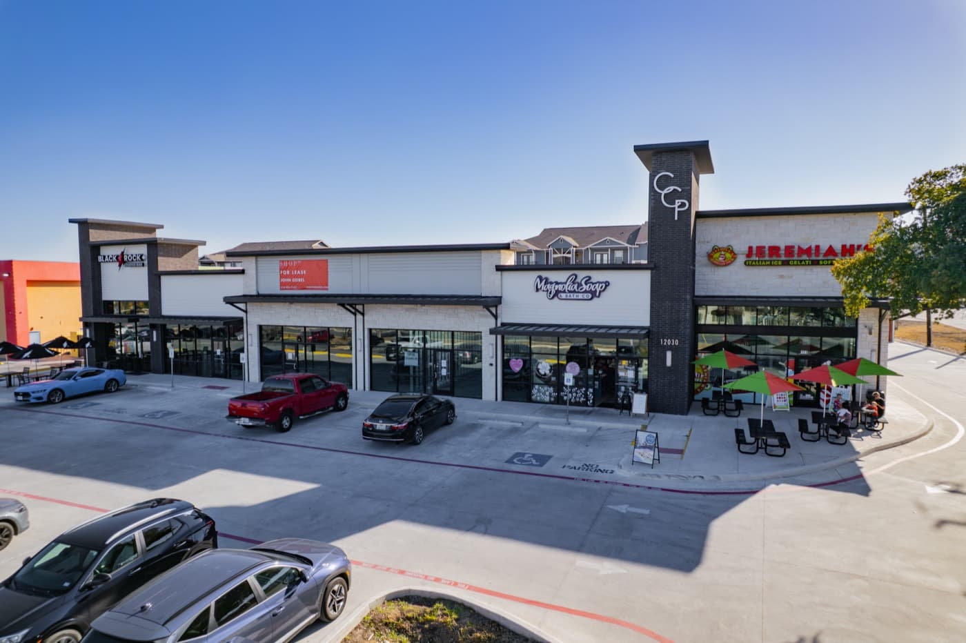 Commercial Real Estate
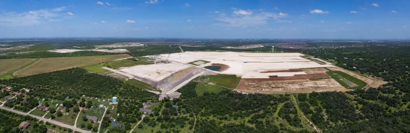 Construction & Development
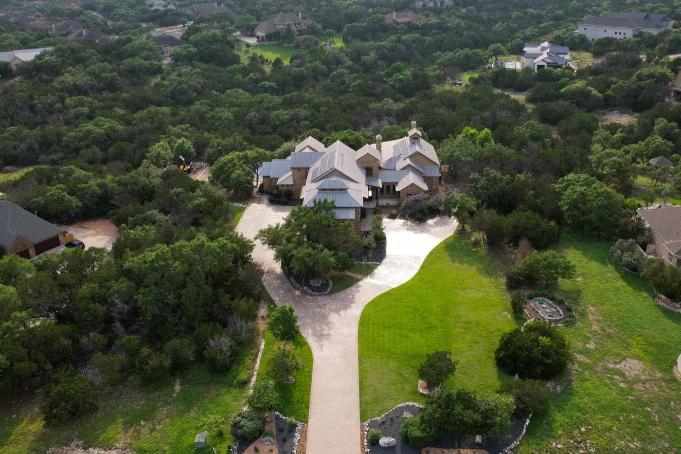 Residential Real Estate
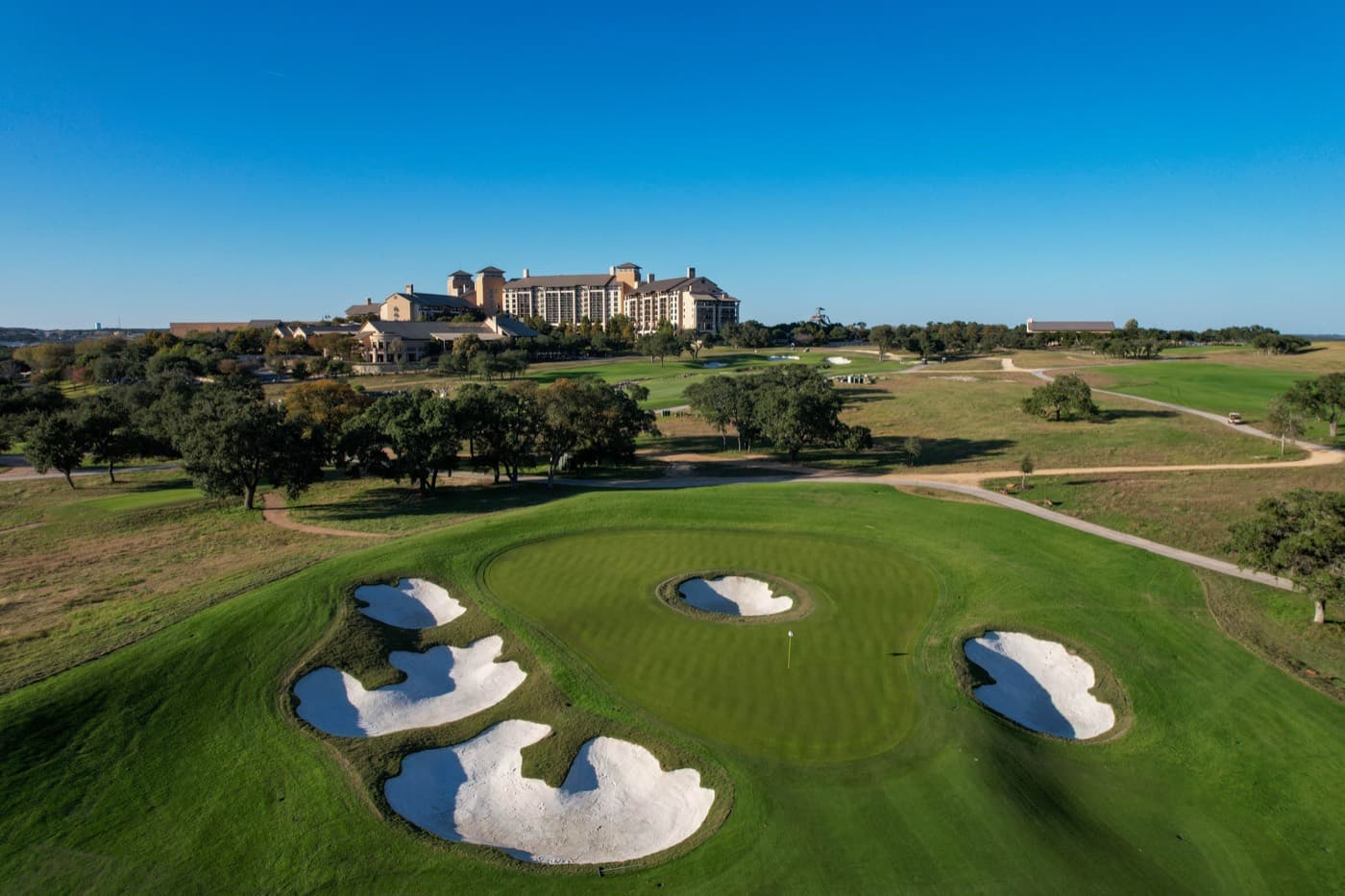 Marketing & Branding
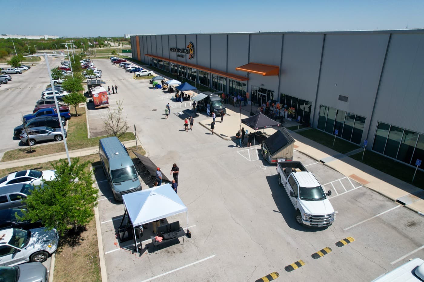 Events
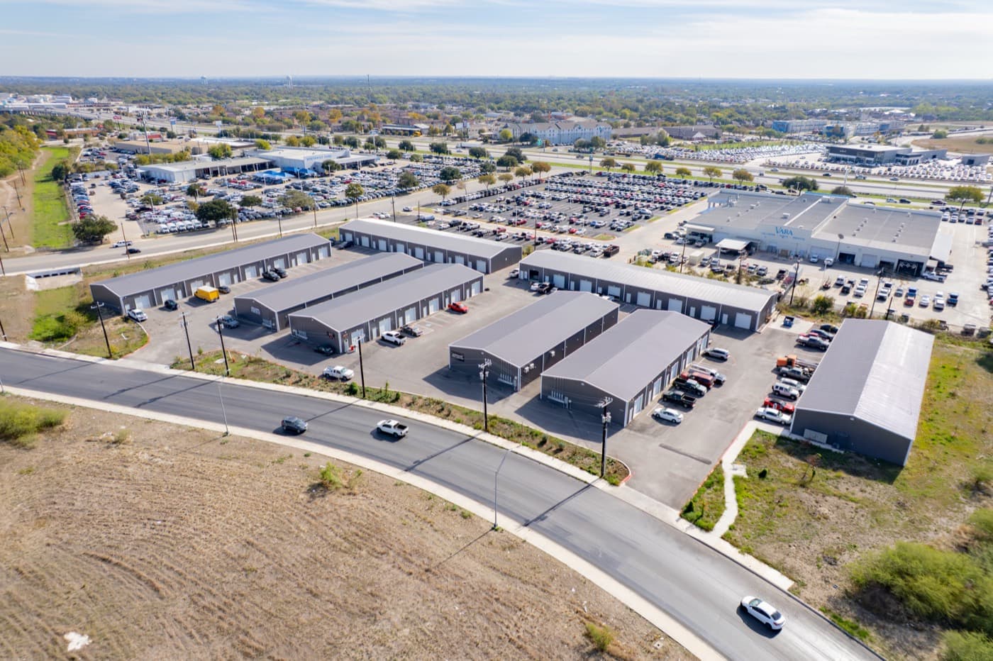 Commercial Real Estate
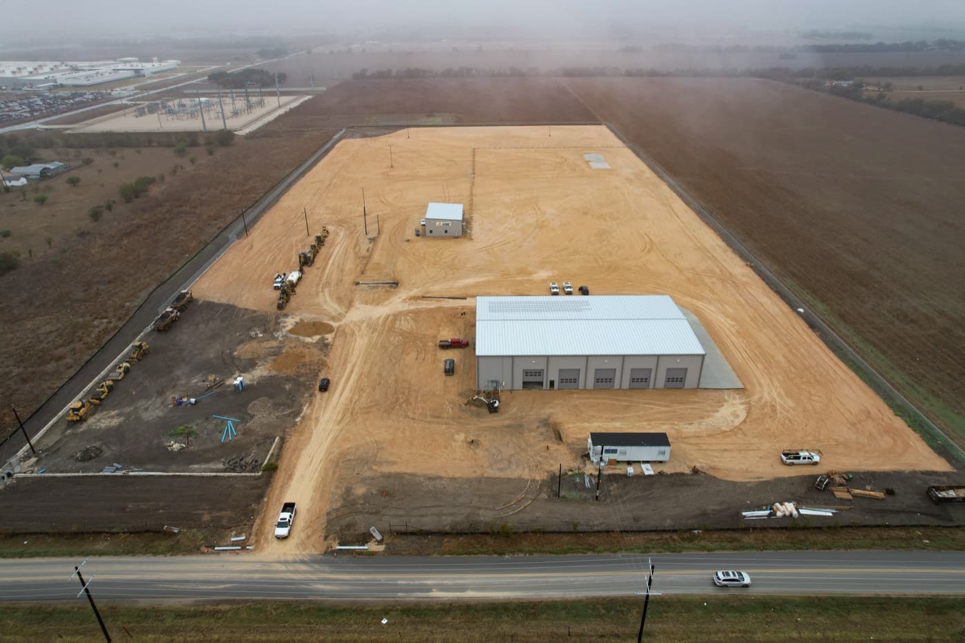 Construction & Development
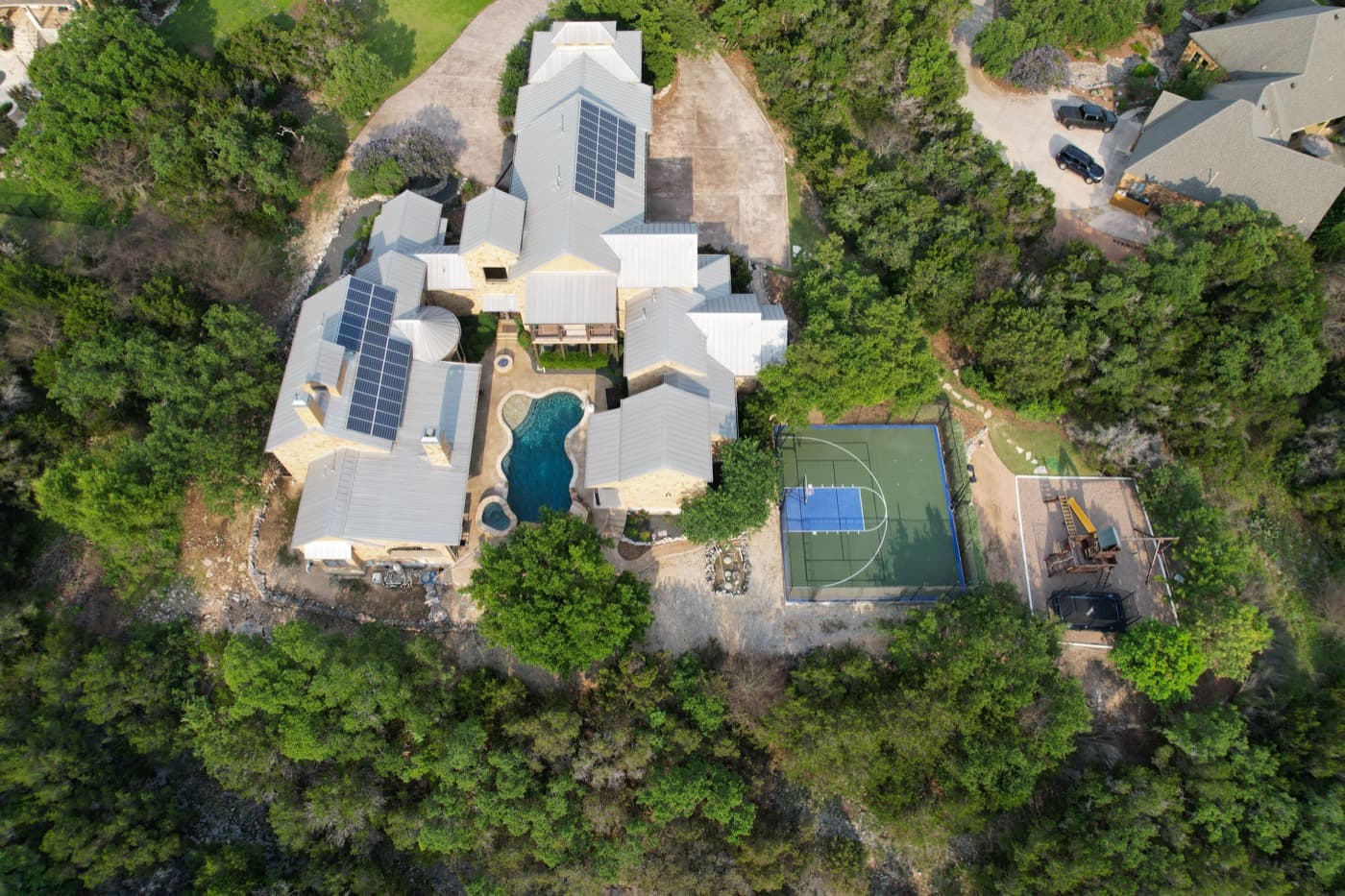 Residential Real Estate
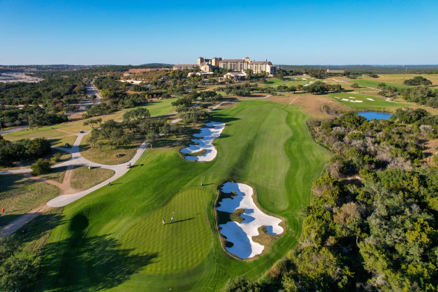 Marketing & Branding
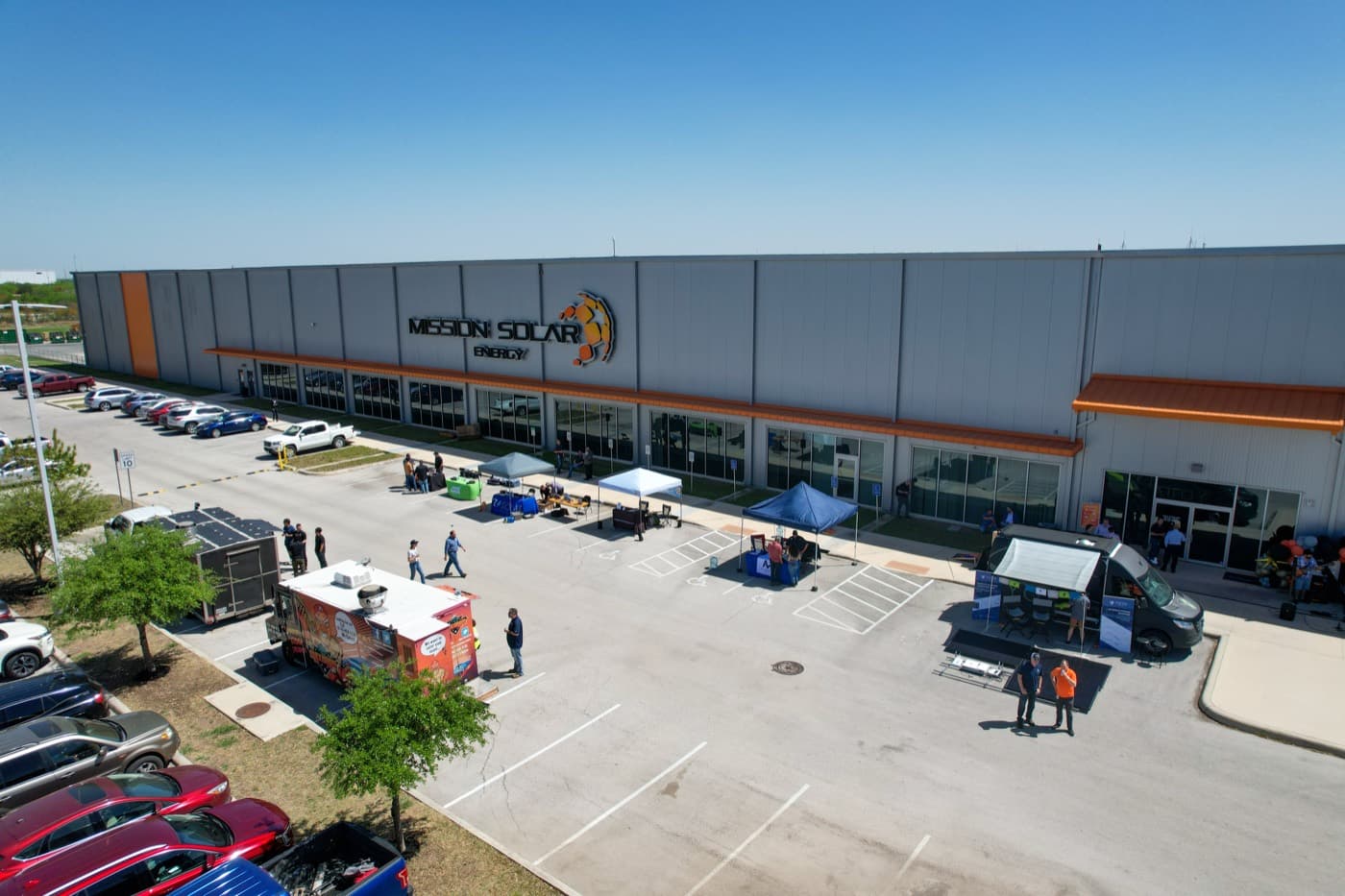 Events
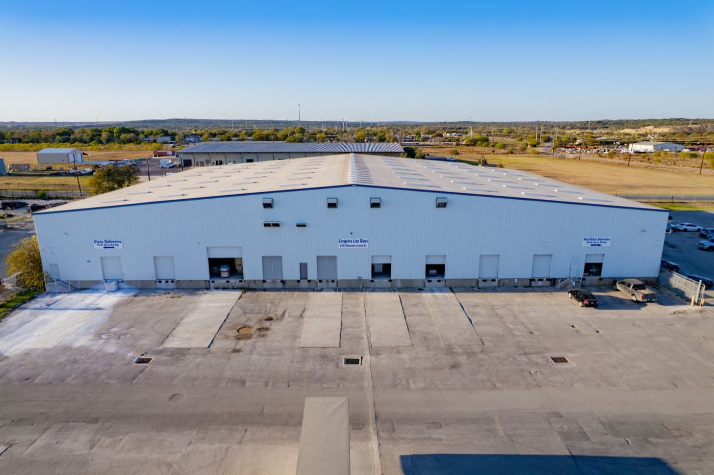 Commercial Real Estate
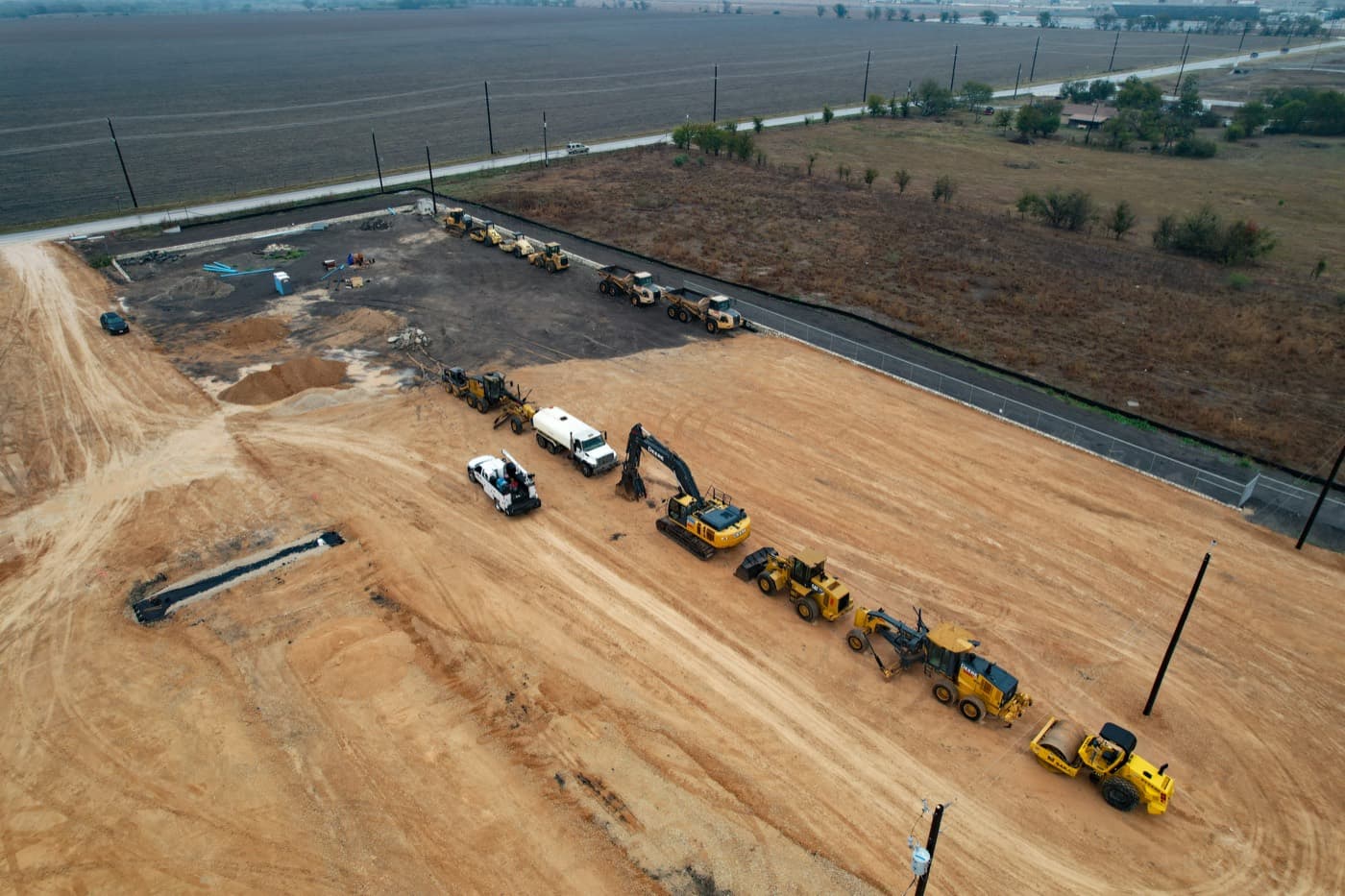 Construction & Development
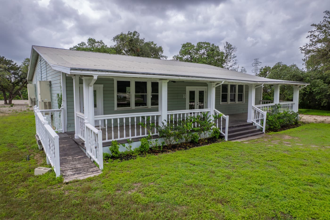 Residential Real Estate
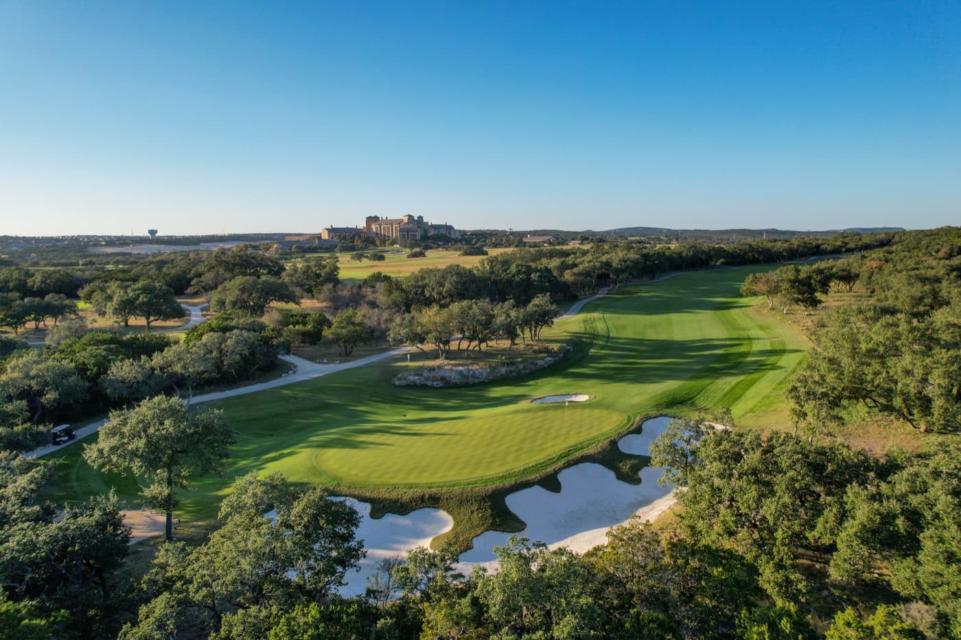 Marketing & Branding
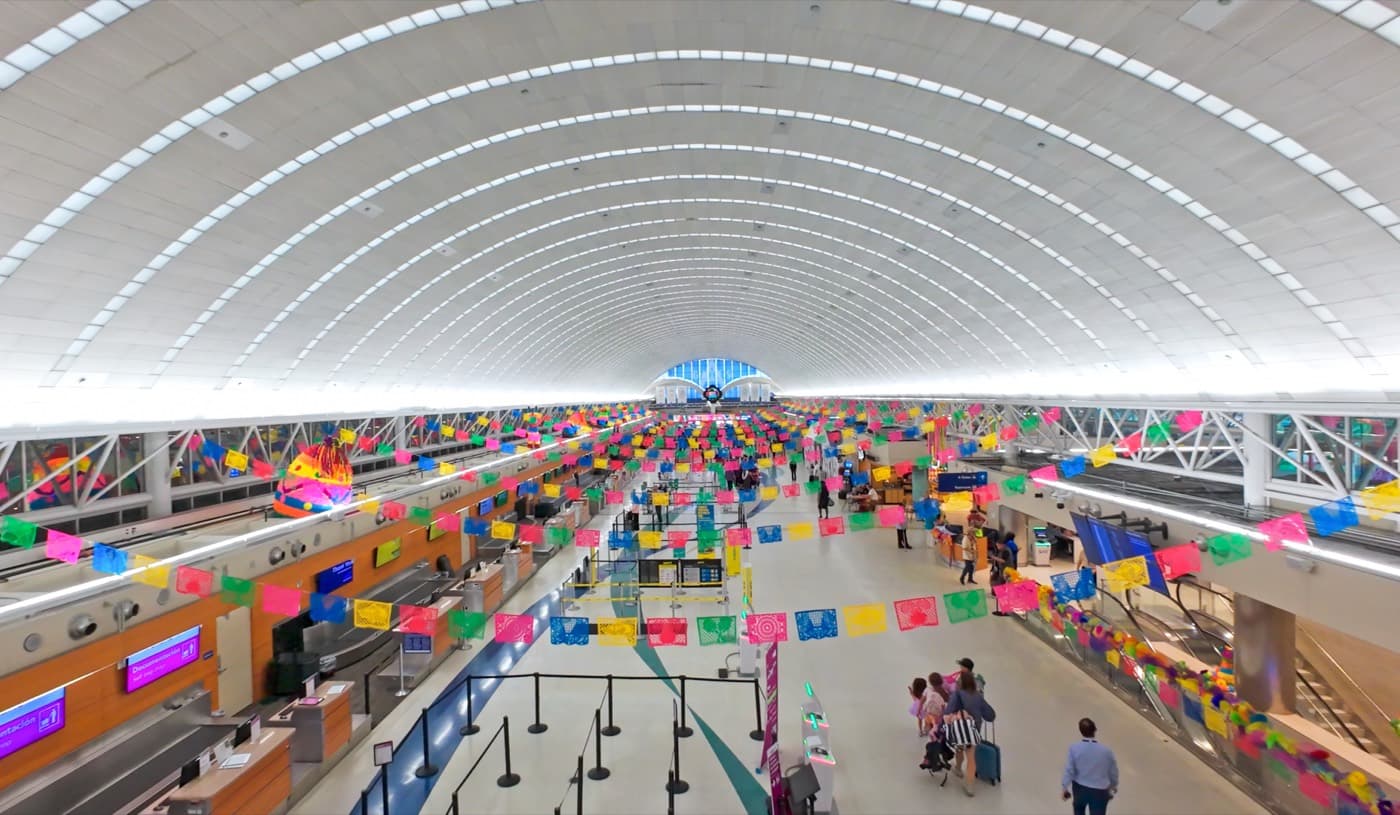 Events
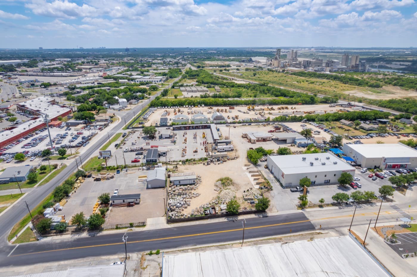 Commercial Real Estate
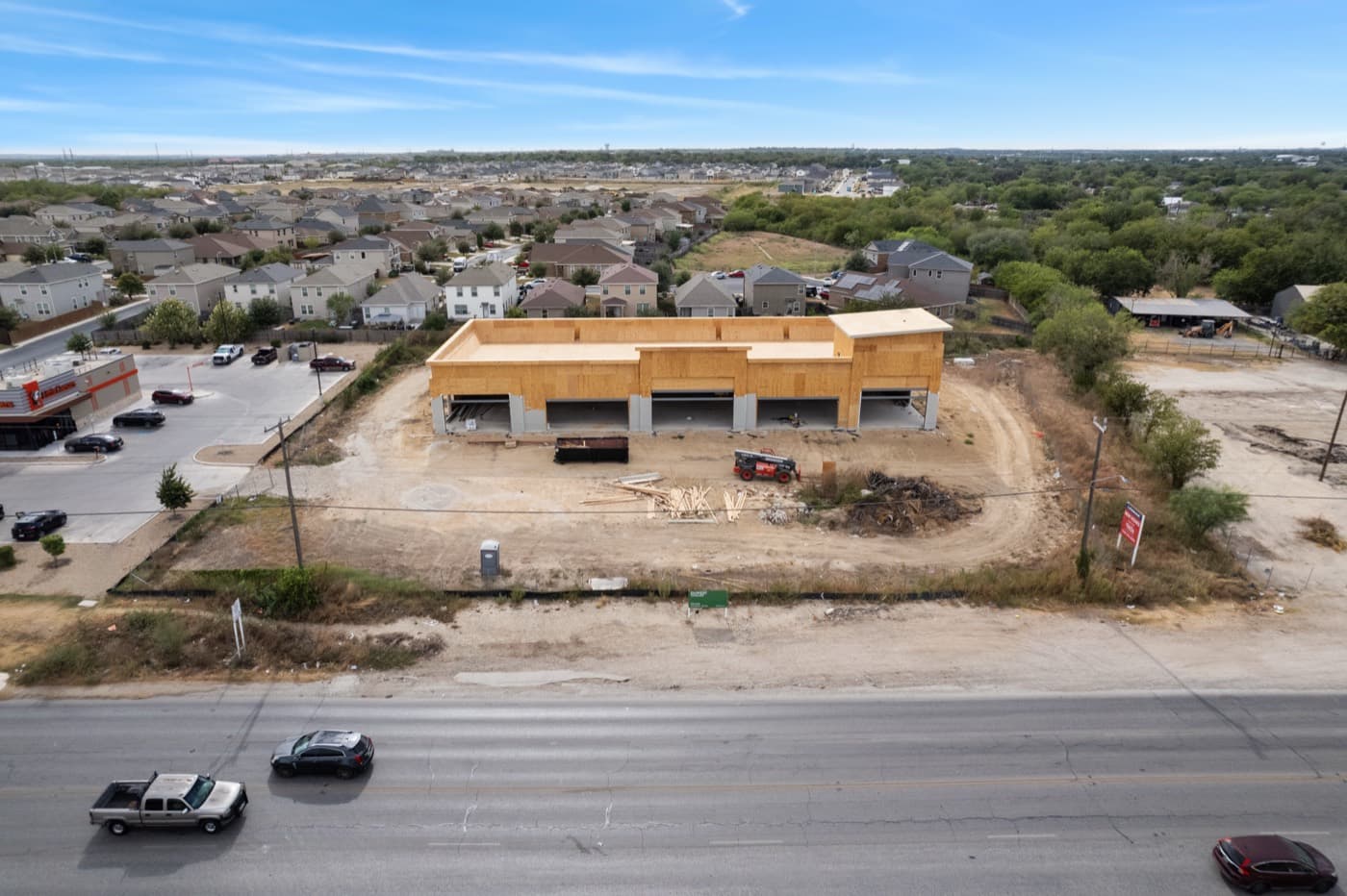 Construction & Development
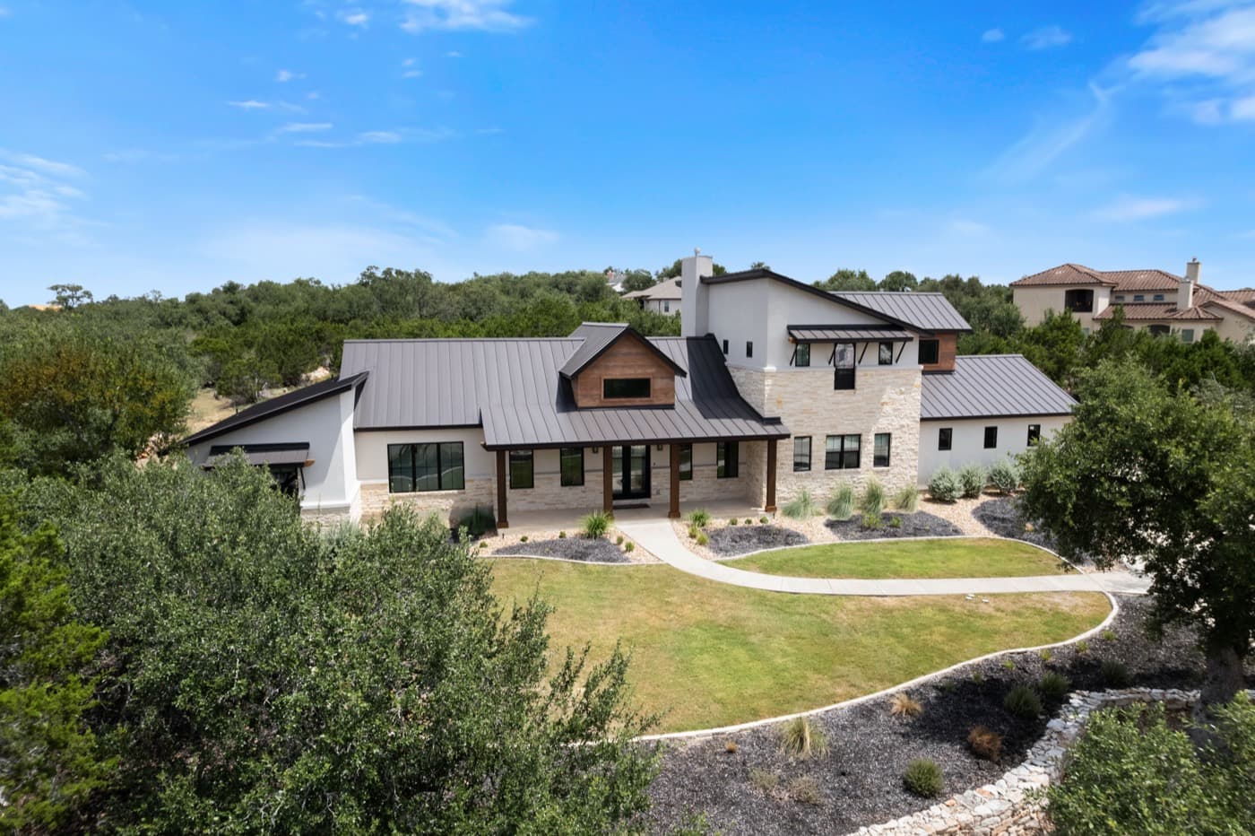 Residential Real Estate
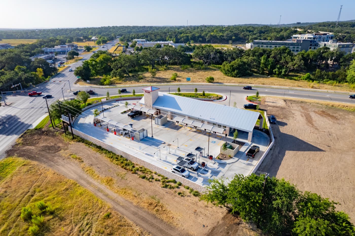 Marketing & Branding
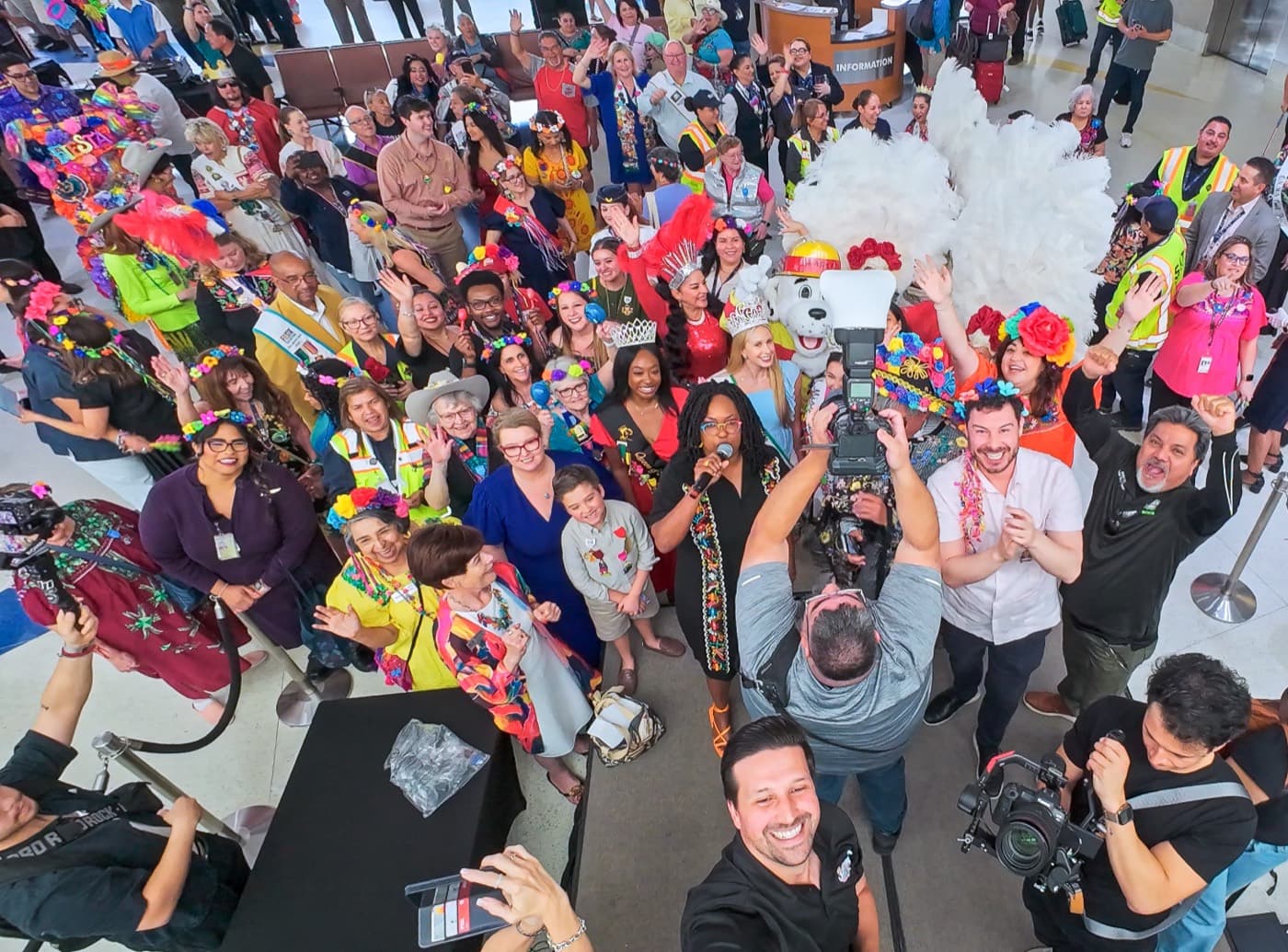 Events
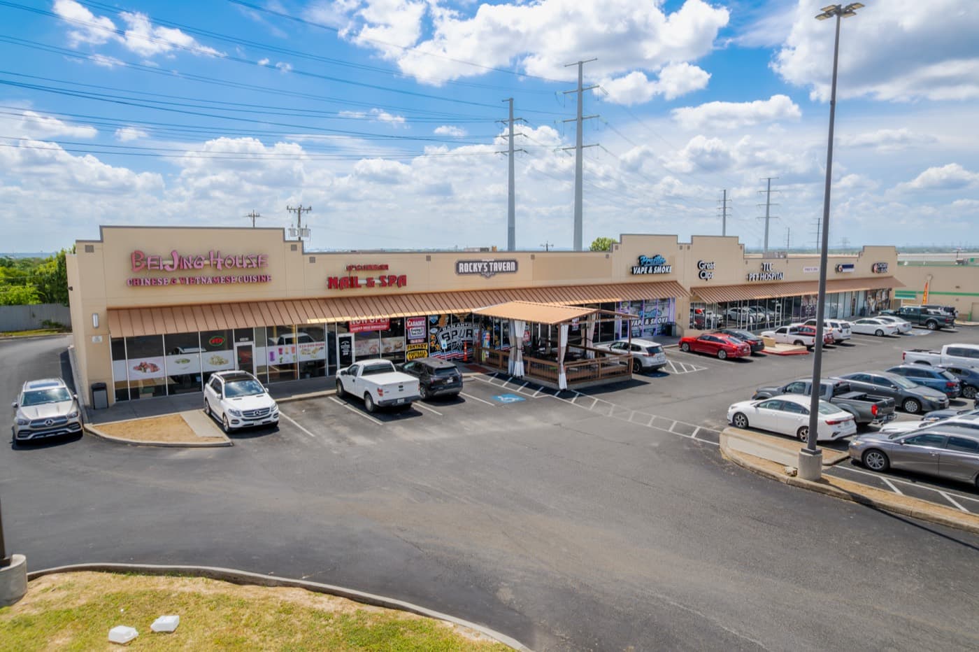 Commercial Real Estate
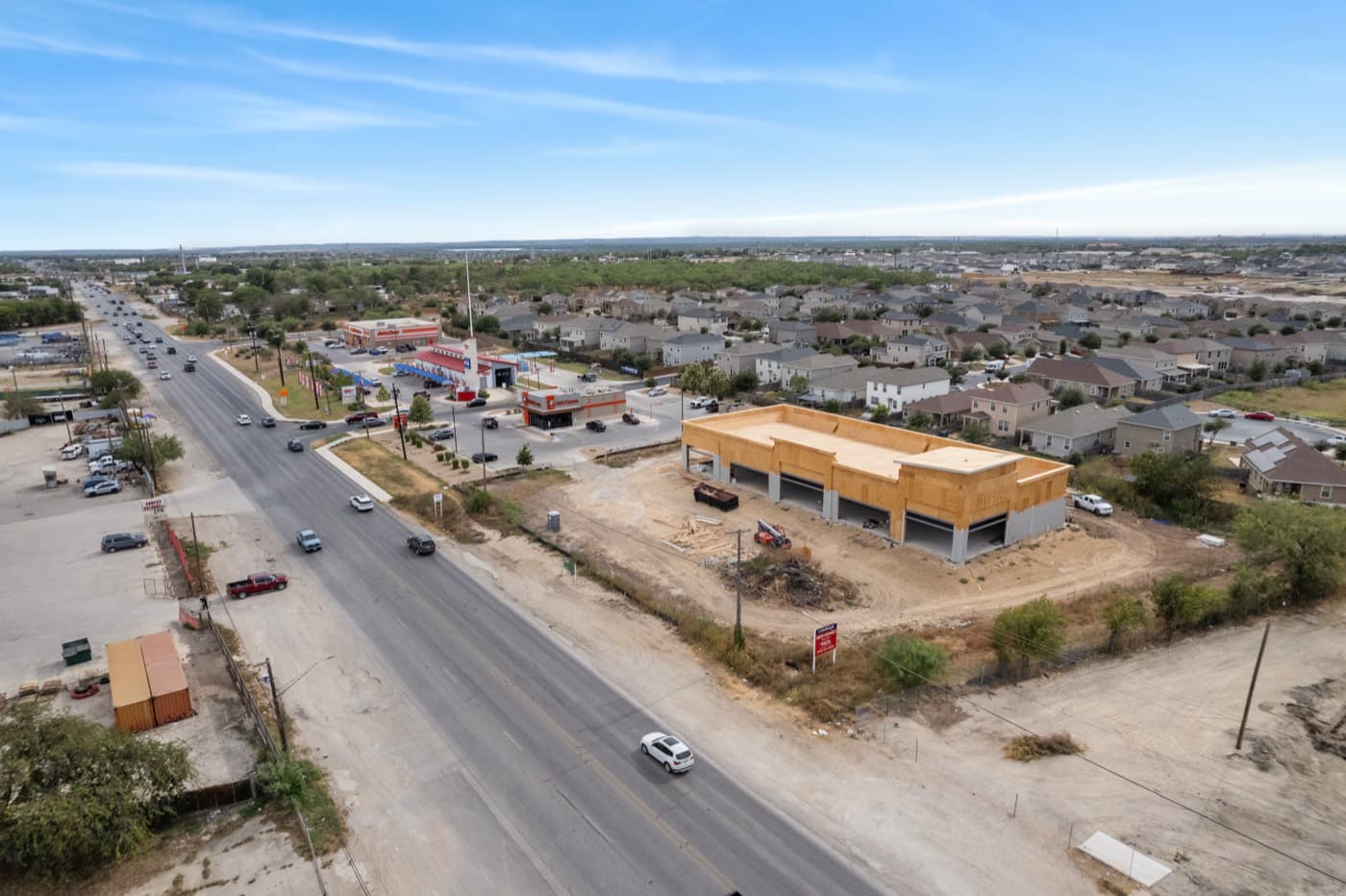 Construction & Development
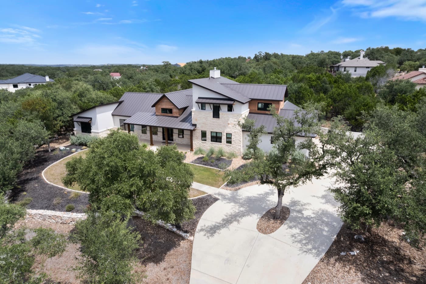 Residential Real Estate
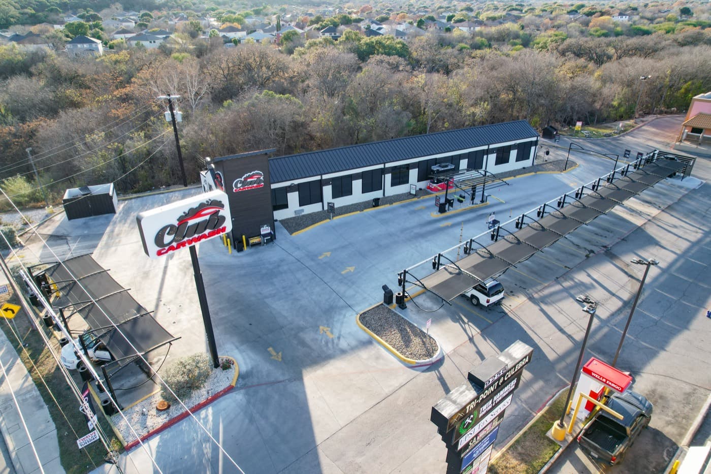 Marketing & Branding
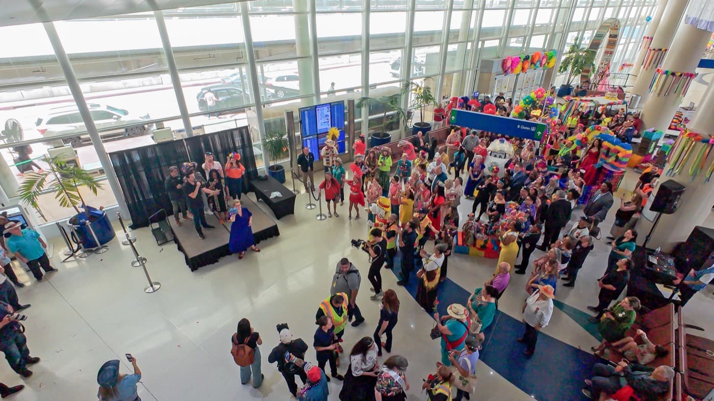 Events
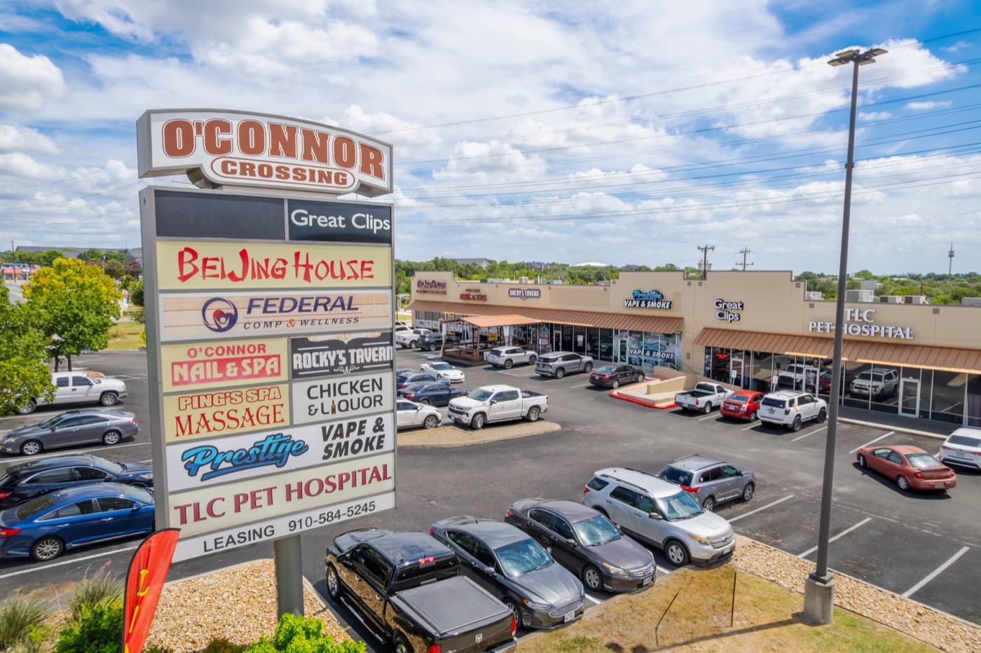 Commercial Real Estate
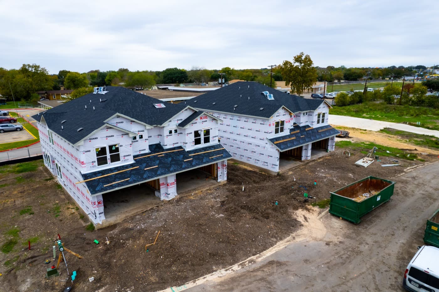 Construction & Development
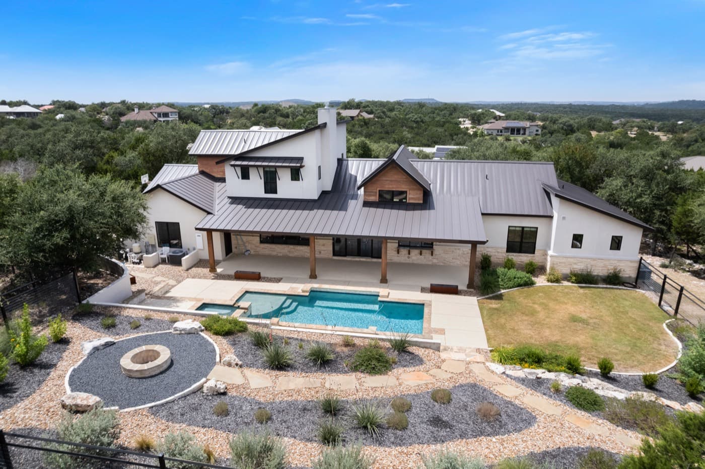 Residential Real Estate
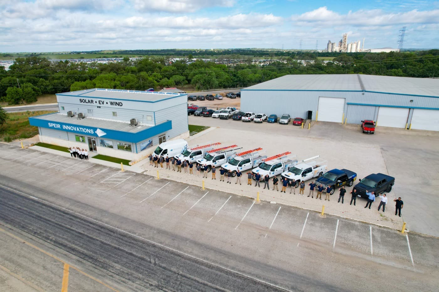 Marketing & Branding
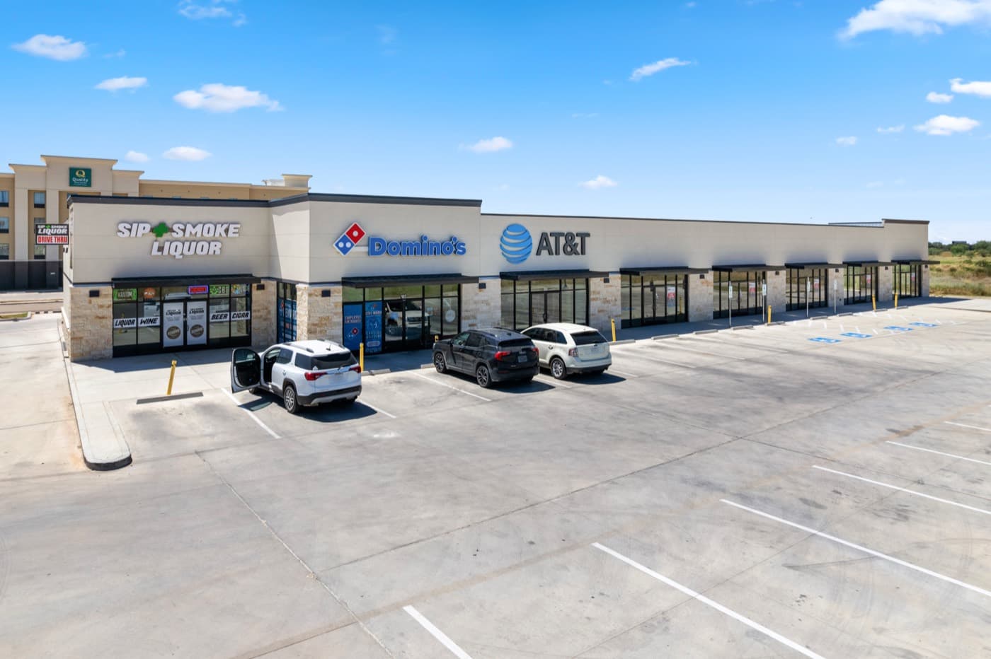 Commercial Real Estate
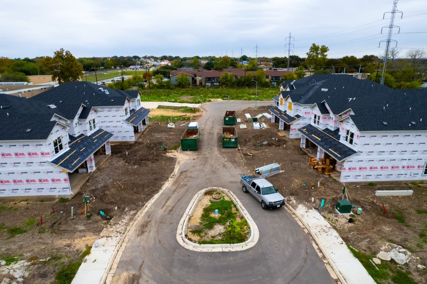 Construction & Development
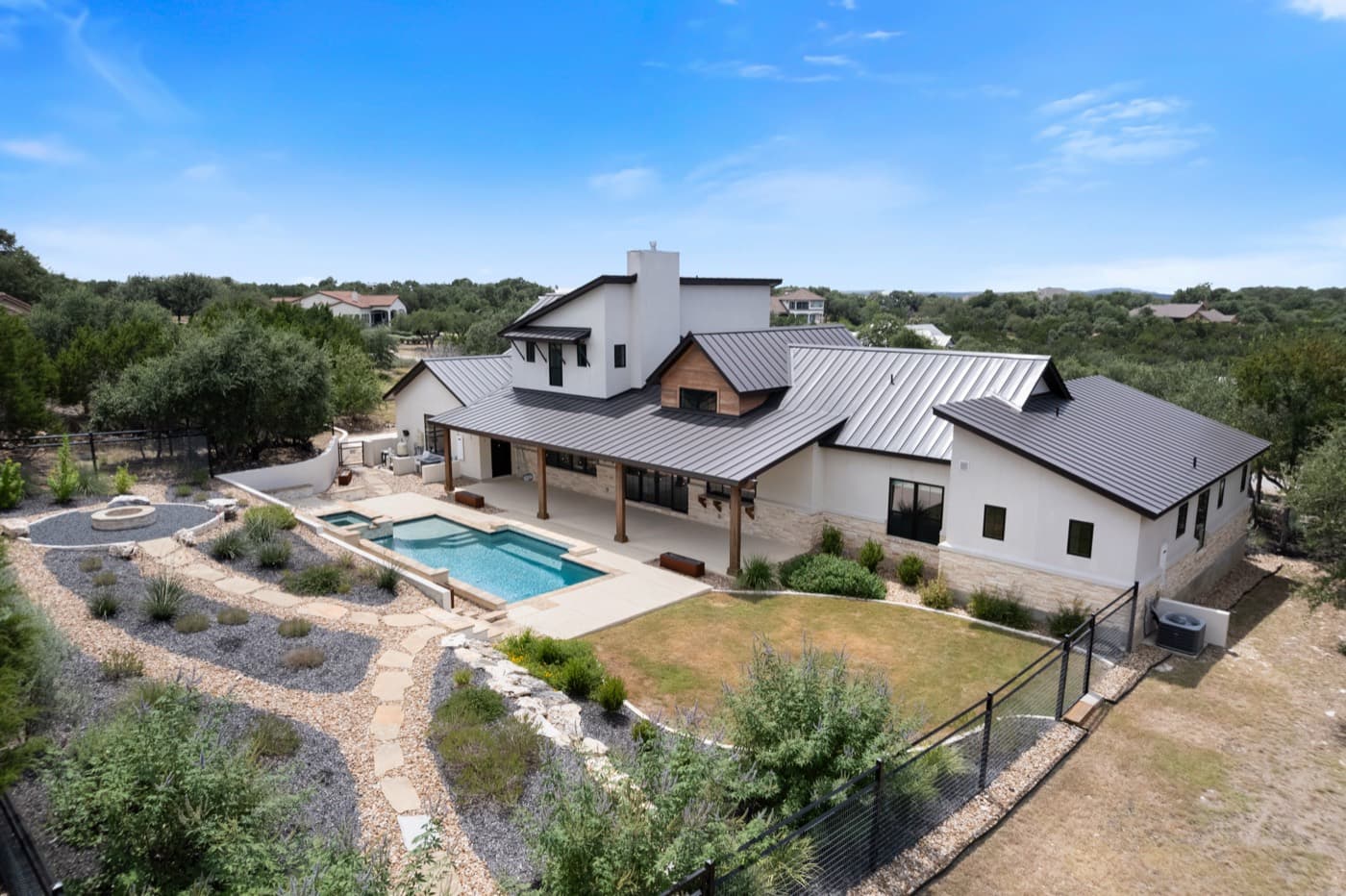 Residential Real Estate
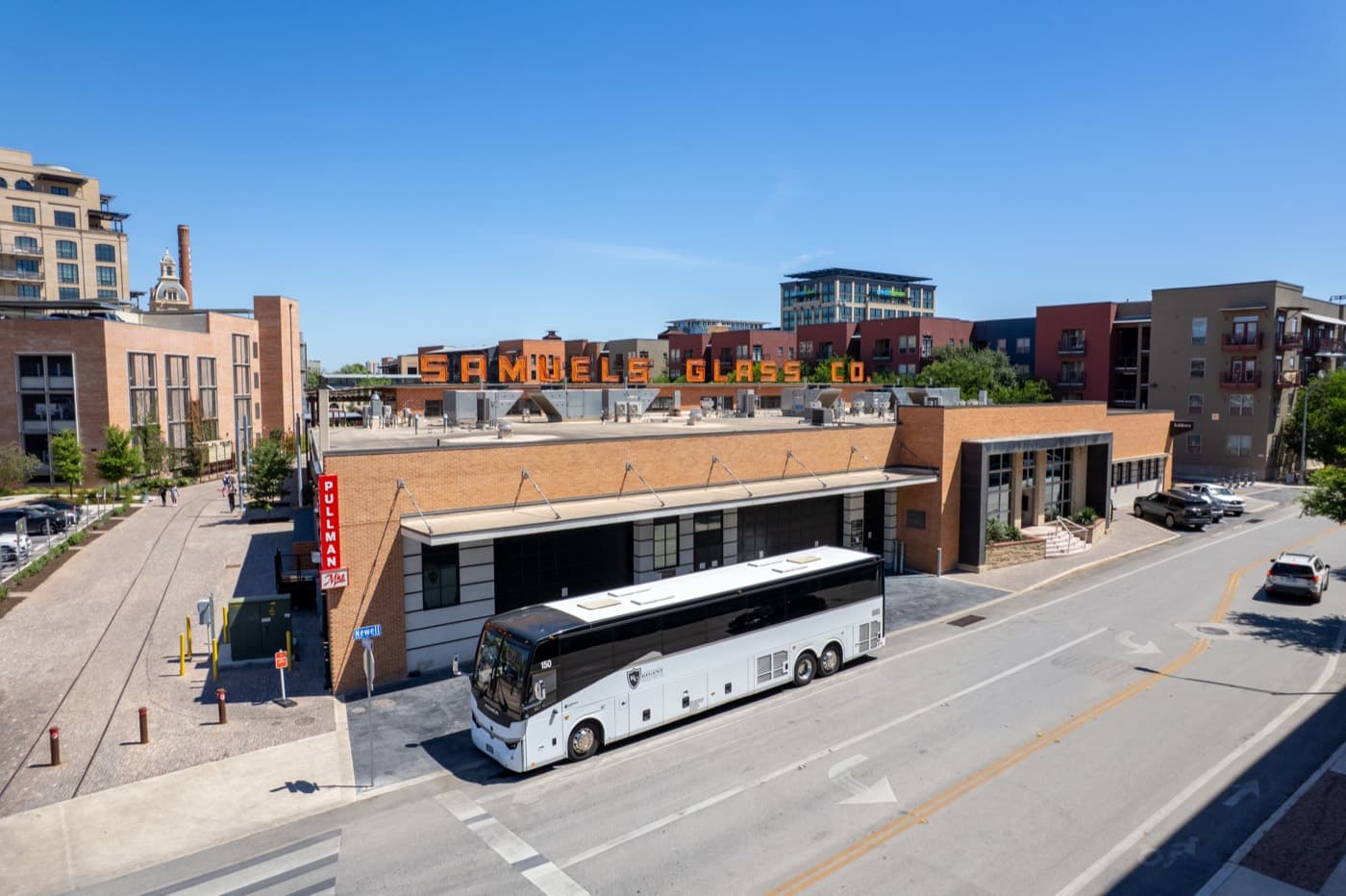 Marketing & Branding
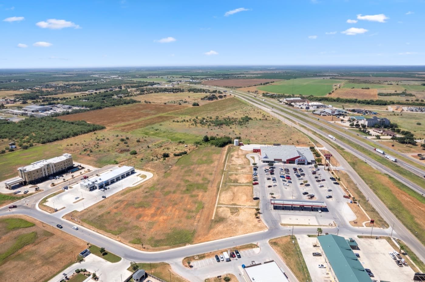 Commercial Real Estate
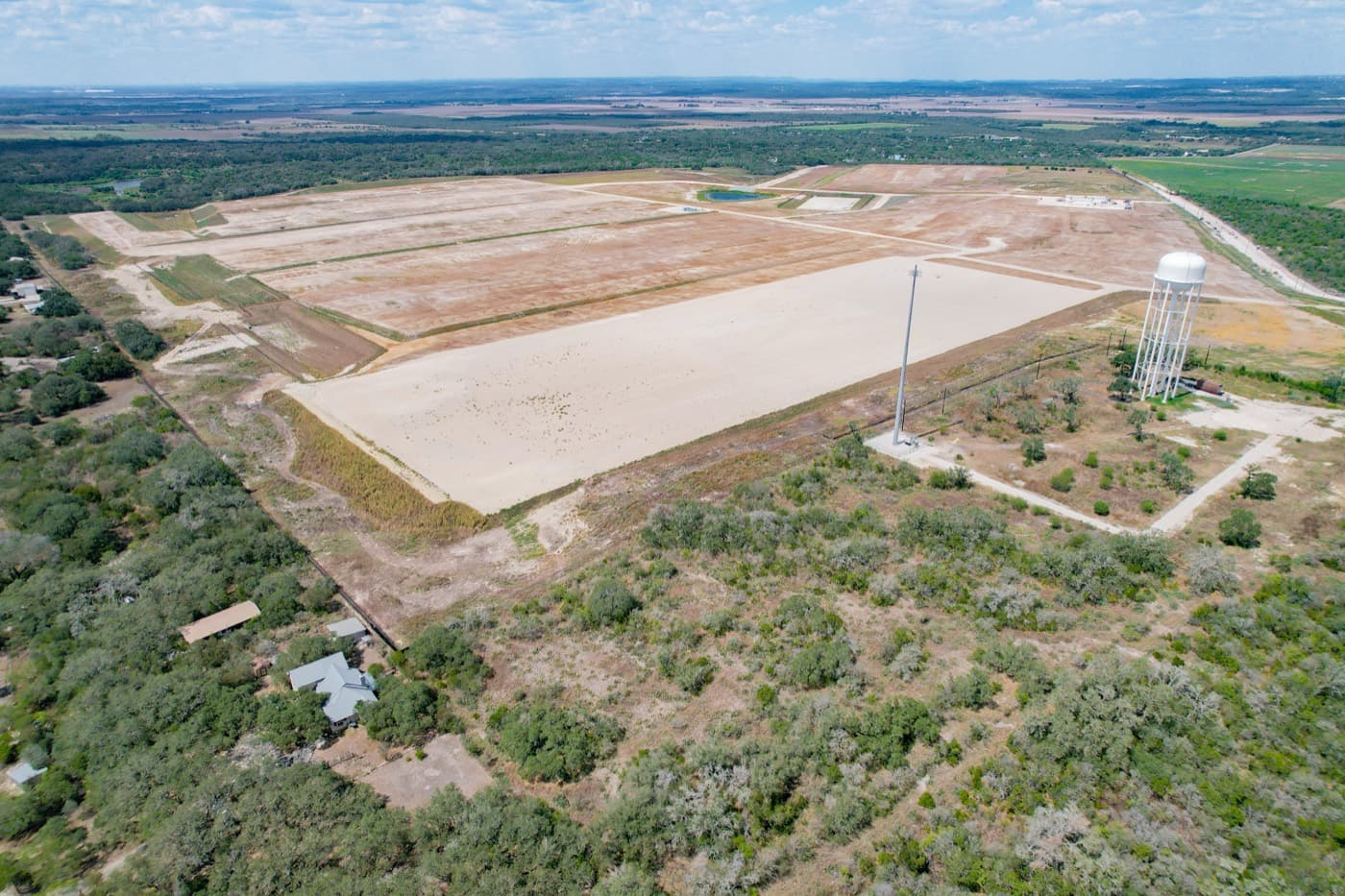 Construction & Development
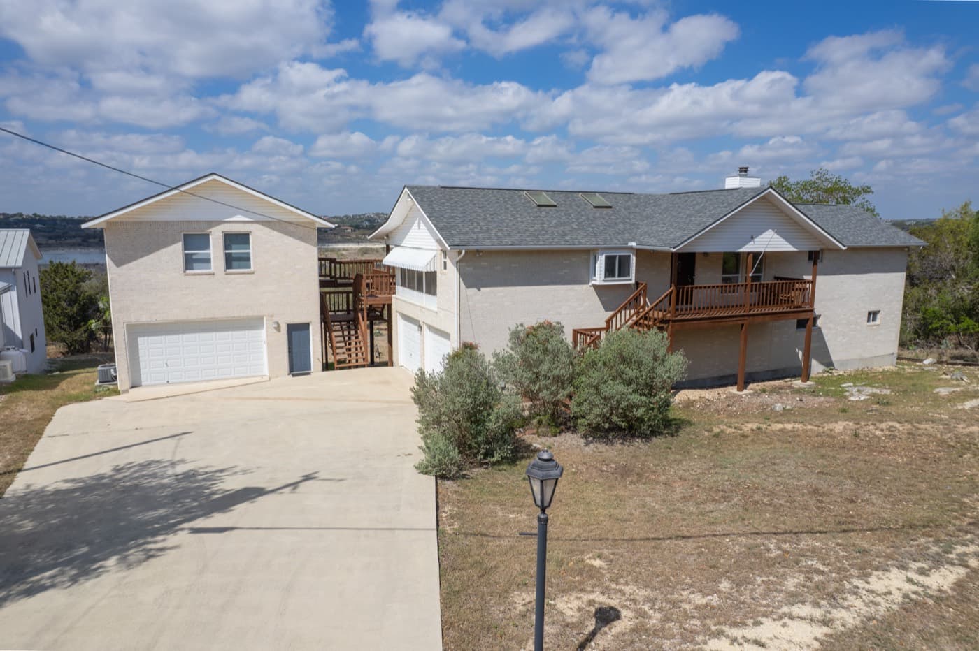 Residential Real Estate
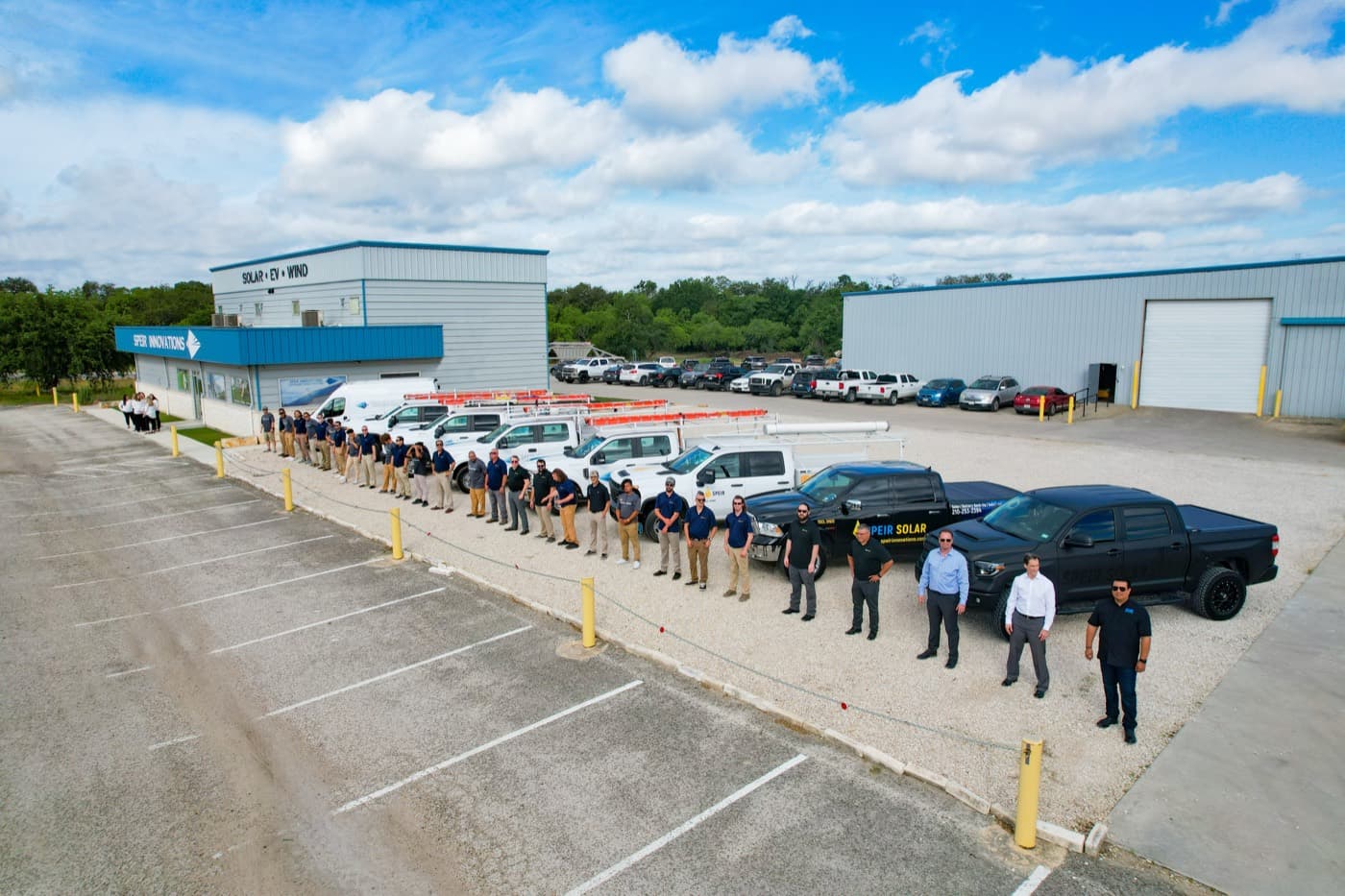 Marketing & Branding
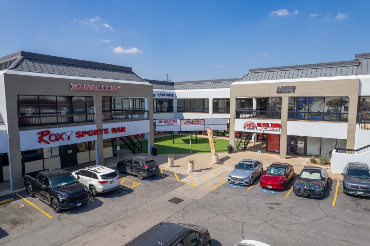 Commercial Real Estate
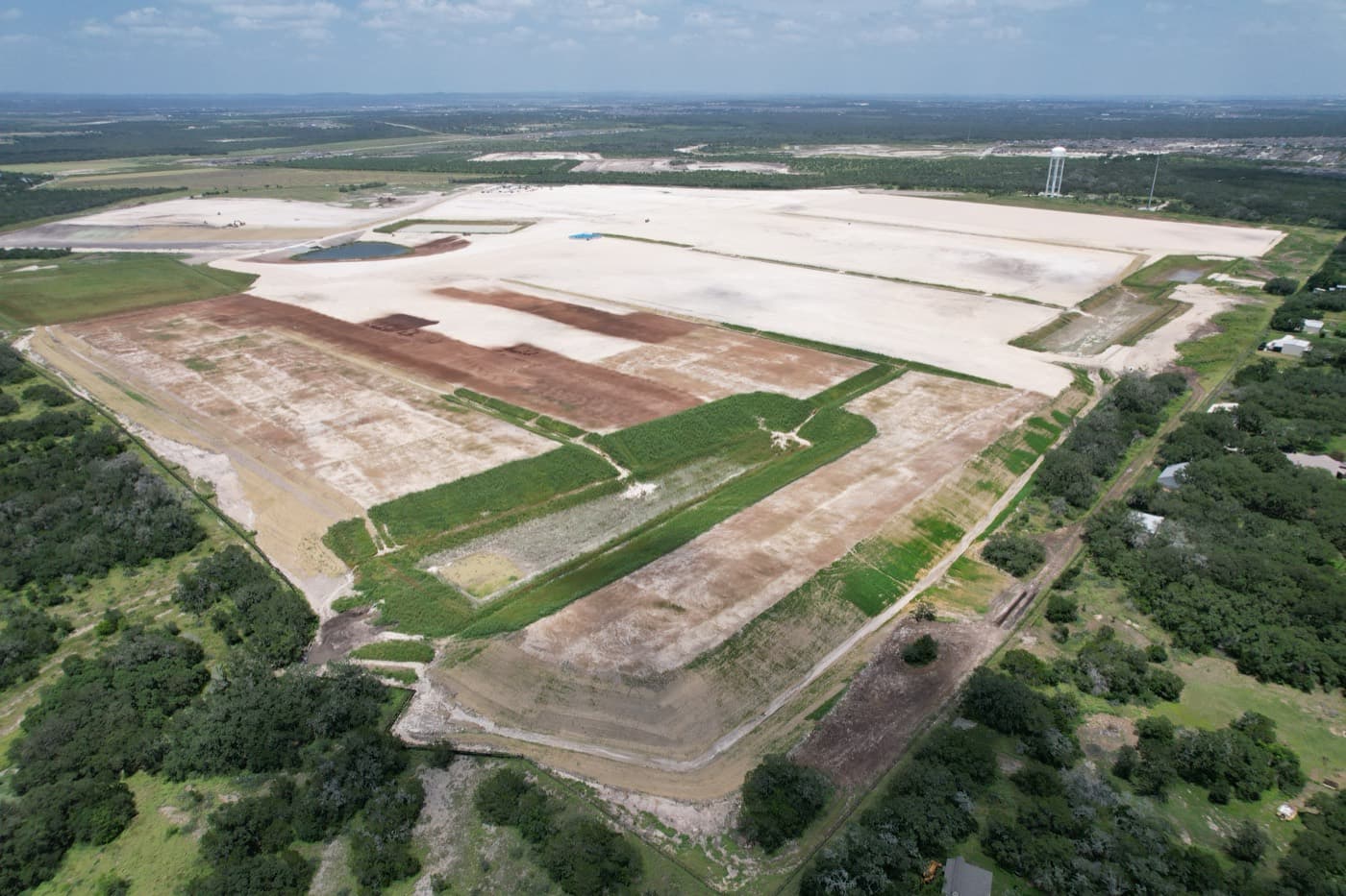 Construction & Development
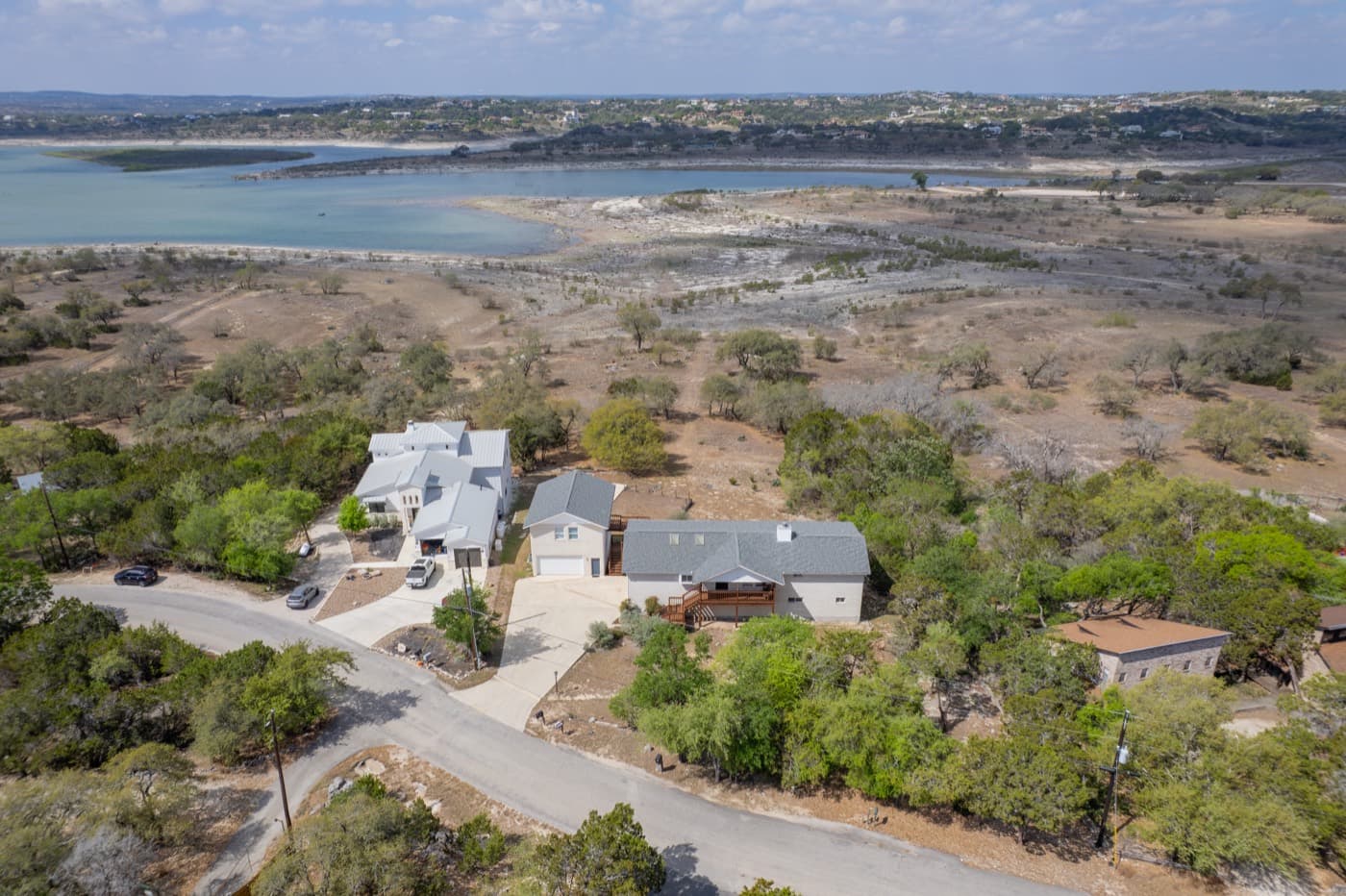 Residential Real Estate
Residential Real Estate
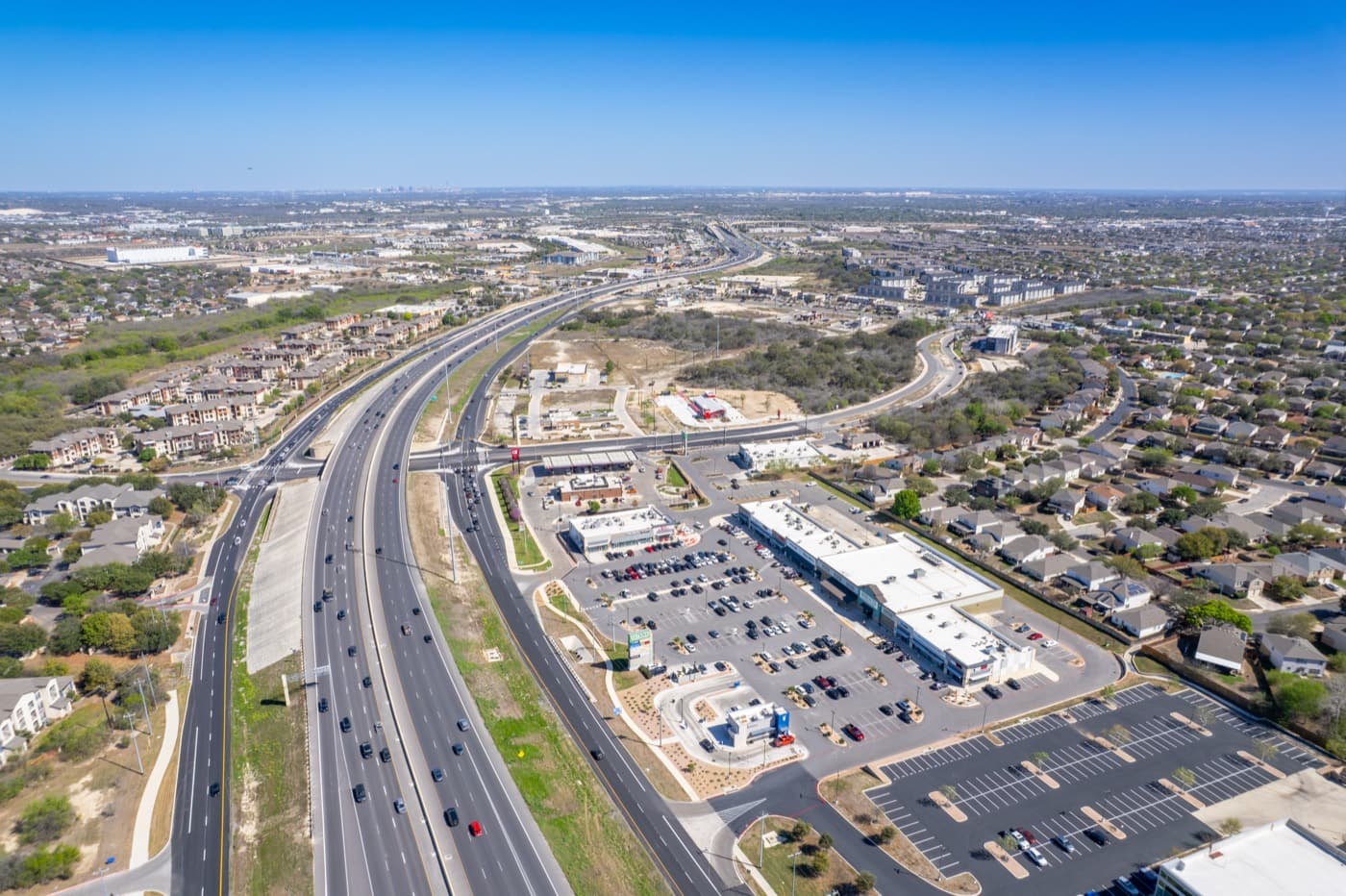
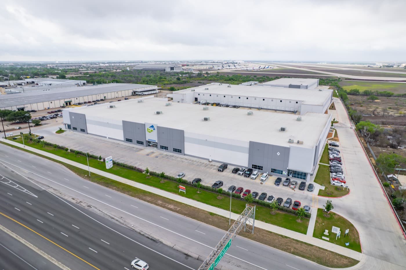
Commercial Real Estate
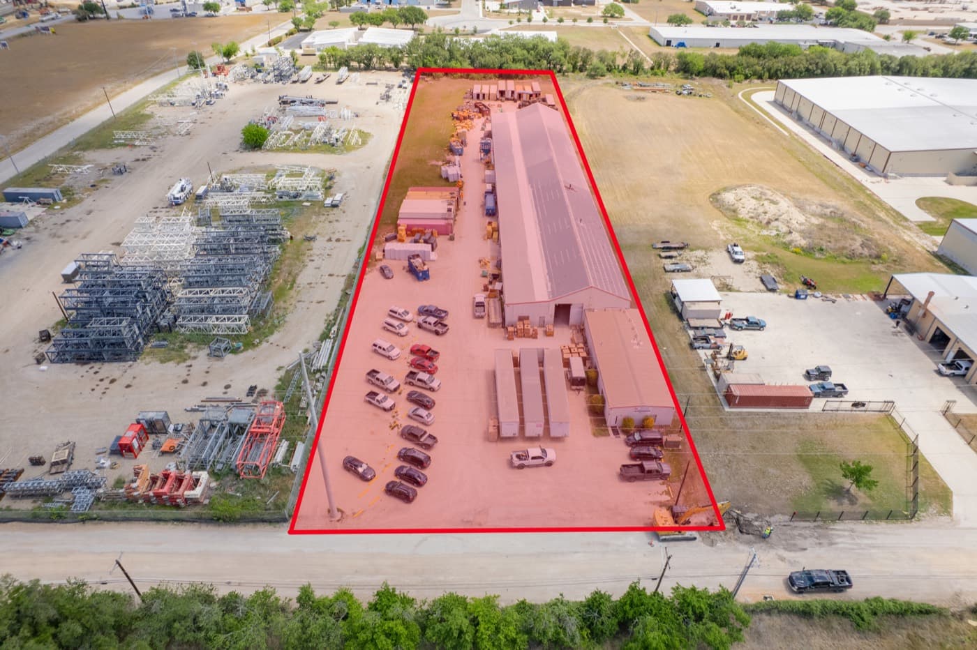
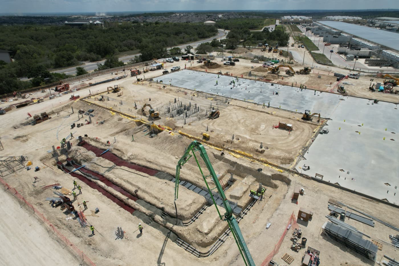
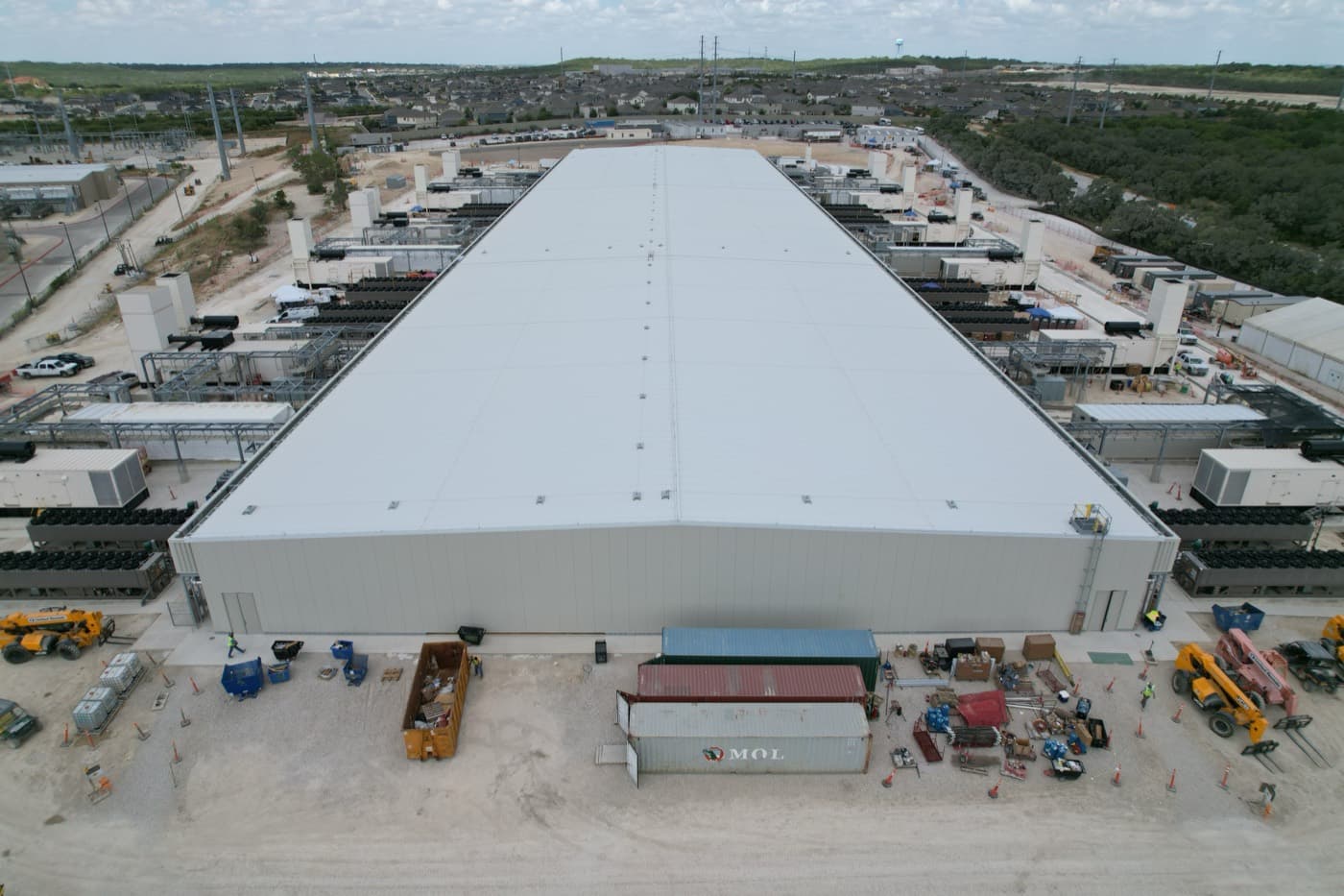
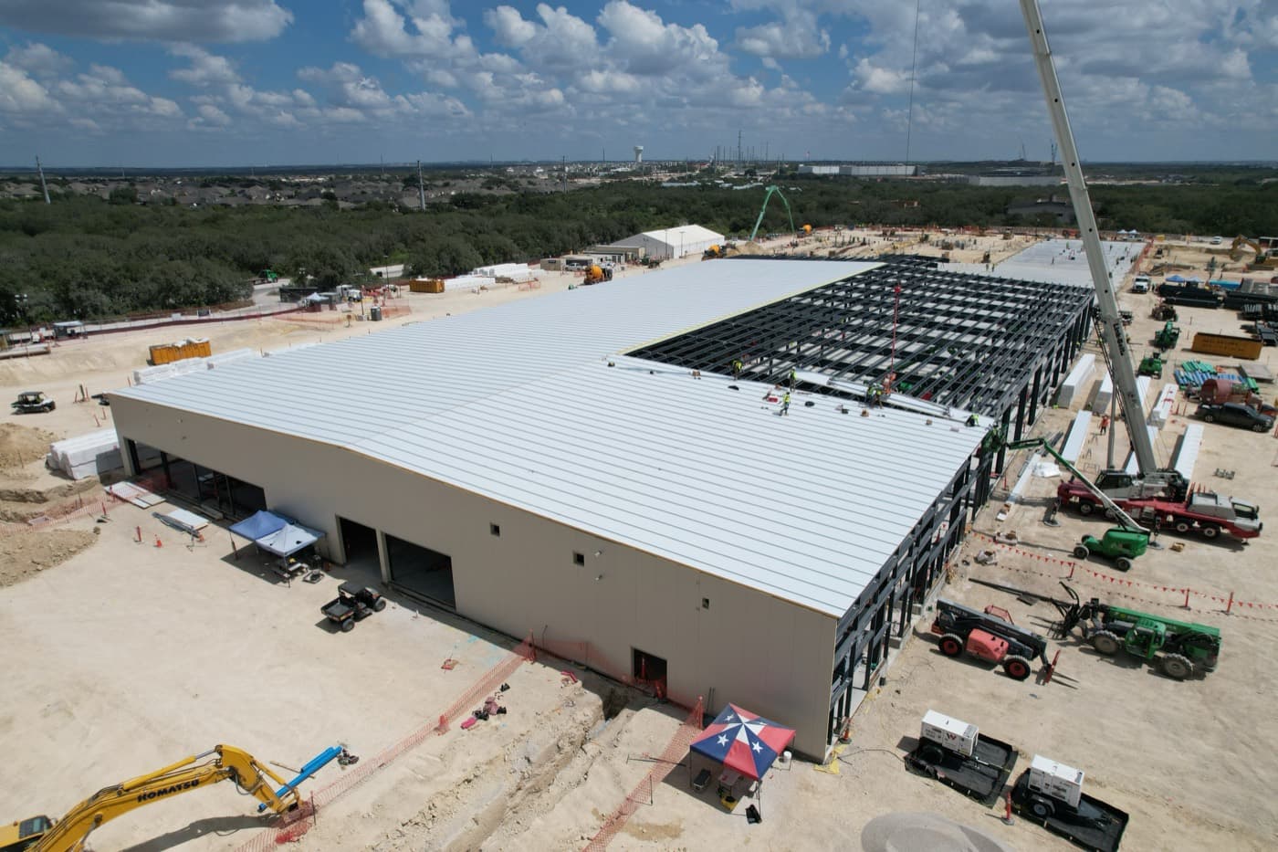
Construction
Business & Brand
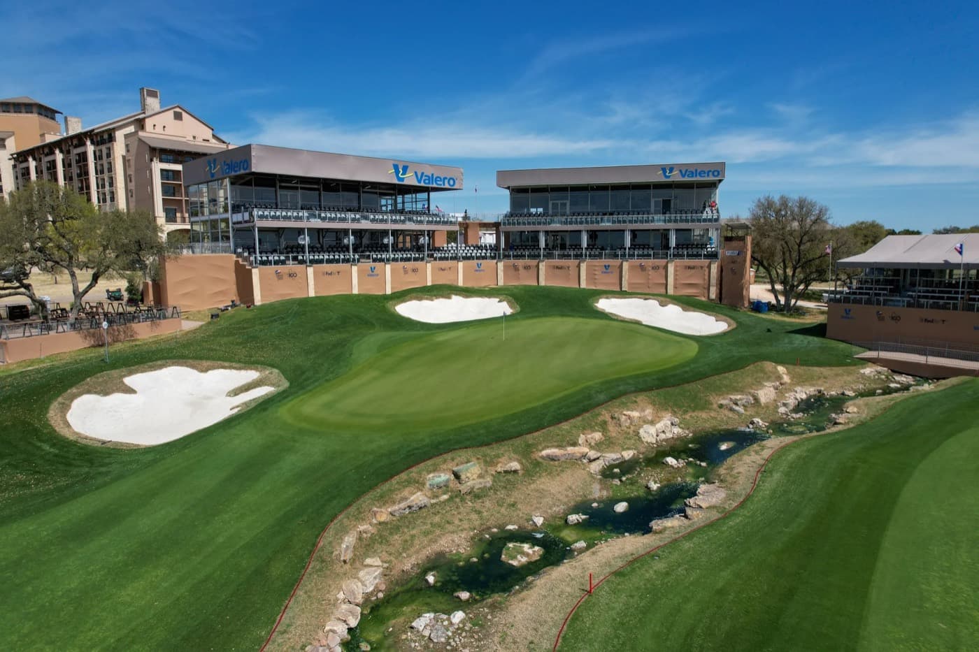
Events
What you get from the air
- Multiple elevations and property perspectives.
- Road frontage, access points, and surrounding context.
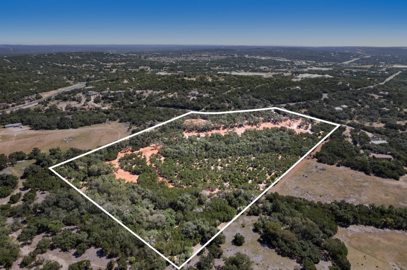
- Virtual property lines on every package.
- Flown by an FAA Part 107 certified pilot.
What our clients say
5.0 on Google from 27 reviewsRead them all
“The drone photos provided great views of the property, surrounding area, access points, and overall site layout.”
Photo packages
Listed prices, with edited files back in 24 to 48 hours.
Aerial
$300
- 20 aerial photos
Aerial + Ground
$475
- 15 aerial photos
- 25 ground photos
Complete
$750
- 20 aerial photos
- 30 ground photos
- 30–60 sec video
Questions, answered
How long does a typical shoot take?
Most commercial aerial photography shoots range from 1–3 hours depending on the property size and package selected. Large development sites may require half- or full-day sessions.
What is the turnaround time for edited photos?
Packages come back edited in 24 to 48 hours. Larger or custom projects have their timeline confirmed at booking.
Are you insured and FAA certified?
Yes. We hold an FAA Part 107 Remote Pilot Certificate and carry commercial drone liability insurance on every operation.
What happens if weather delays the shoot?
We monitor conditions closely and will reschedule at no charge if weather prevents safe or quality operations.
Pairs well with
Get the aerial shots your project needs.
Tell us about the property and the timeline. We will confirm the package and the date.
FAA Part 107 Certified · Fully Insured · San Antonio, Texas